Trails & snowshoe
Fifty-seven kilometres groomed, and a hundred and fourteen that are not
The society publishes its network as five numbers: 57 km groomed for skate and set for classic, 114 km ungroomed, 17 km of snowshoe trail, a 10.1 km canine trail and 6.4 km lit. Those numbers are reproduced here exactly and nothing has been added to them.
- Groomed
- 57 km
- Ungroomed
- 114 km
- Snowshoe
- 17 km
- Canine trail
- 10.1 km
- Lit trails
- 6.4 km
- Technique
- Both
skate and classic trackset
beyond the groomed network
trails for snowshoes
where the dog can come
for skiing after dark
groomed for skate, set for classic
No photograph here, on purpose
There is no picture of the lit trails on this page. We have none that belong to the society, and a stock photograph of somebody else's floodlit track would be quietly asserting something we cannot verify — how wide it is, how it is lit, what it looks like at seven on a Tuesday.
Where this concept does use a stock photograph, it carries a visible chip saying so. Where it cannot, it says nothing at all rather than guessing.
Lit trails
Six and a bit kilometres, lit, for the months when it is dark at four
The society publishes 6.4 km of lit trail. In a Shuswap December that is the difference between skiing twice a week and skiing at the weekend only — it is the number that makes a membership worth it for anyone with a job.
Lighting hours are not published, so this concept does not print any. On a real build that is one line of text, and it is probably the thing people phone about most.
Not only classic tracks
Snowshoes, dogs, and everything past the groomer
The published network is not one thing. Most of it — 114 of the 171 kilometres — is not groomed at all, and there are separate trails for snowshoes and for dogs so that none of those uses has to share a set classic track.
-
10.1 km
Canine trail
A published canine trail, so a dog is not a reason to stay home. Rules for using it are not published, so this concept does not invent any.
-
17 km
Snowshoe trails
Seventeen kilometres of snowshoe trail, published separately from the ski network and covered by a ski membership as well as by a snowshoe one.
-
114 km
Ungroomed
Twice as much ungroomed trail as groomed. What condition it is in on any given day is not something the current site reports.
What covers what
The one asymmetry in the membership categories
-
A ski membership covers snowshoeing
The society states it directly: ski memberships include snowshoeing. If you ski and snowshoe, one membership does both.
-
A snowshoe membership does not cover skiing
The reverse is not true, and it is the sentence most worth reading before you pick a category.
-
Registration is online
Memberships are registered through zone4.ca. Which season a given fee applies to is not stated on the current site.
What is not on this page
Trail names, difficulty grades, a daily grooming report, opening hours, rental rates and facilities are not published on the society's current site, so none of them appear here. Each would be straightforward to add on a real build, and a grooming report in particular would answer the question most people ring up to ask.
Ask the society →Trail map
The map belongs here, and it belongs to the society
In a real build this is where the trail map would sit — zoomable, downloadable, readable on a phone with gloves on. We have deliberately left it out of this concept, and we have not invented trail names or distances the society has not published.
Ask the society for the current map →Getting here
605 Edgar Road, up in the hills above Salmon Arm
That is the address the society publishes for the trails. Post goes somewhere else — to a box number in town — which is worth knowing before you send a cheque to a trailhead.
Trails
605 Edgar Road
Salmon Arm, British Columbia V1E 2Y2
Box 218
Salmon Arm, British Columbia V1E 4N3
Driving directions, road conditions and parking are not published on the society's current site, so this concept does not describe the drive.
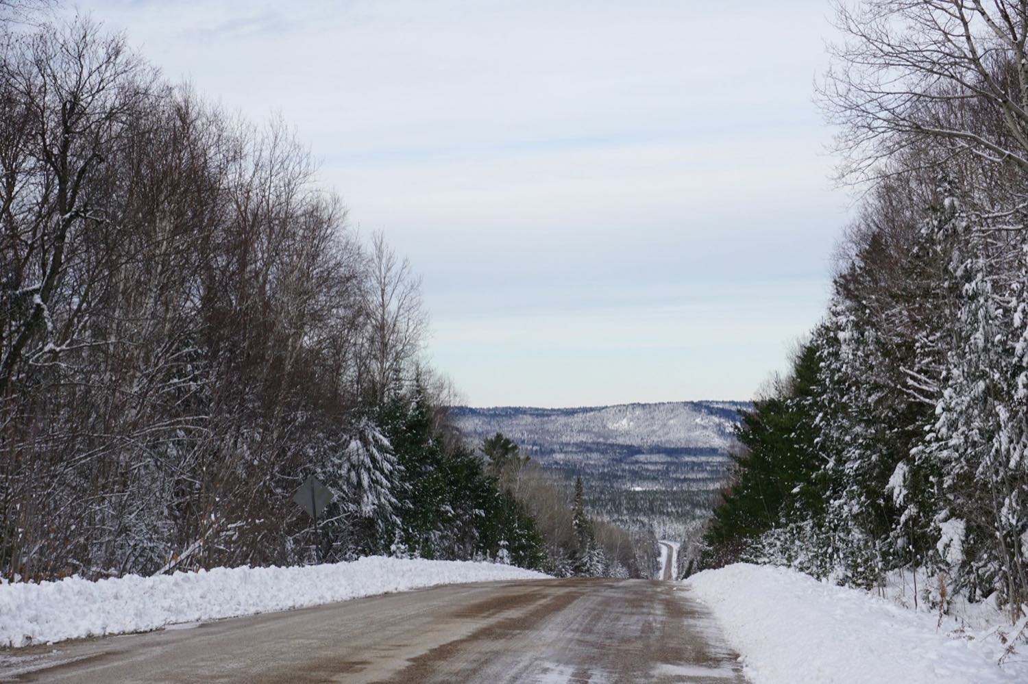 Stock photo